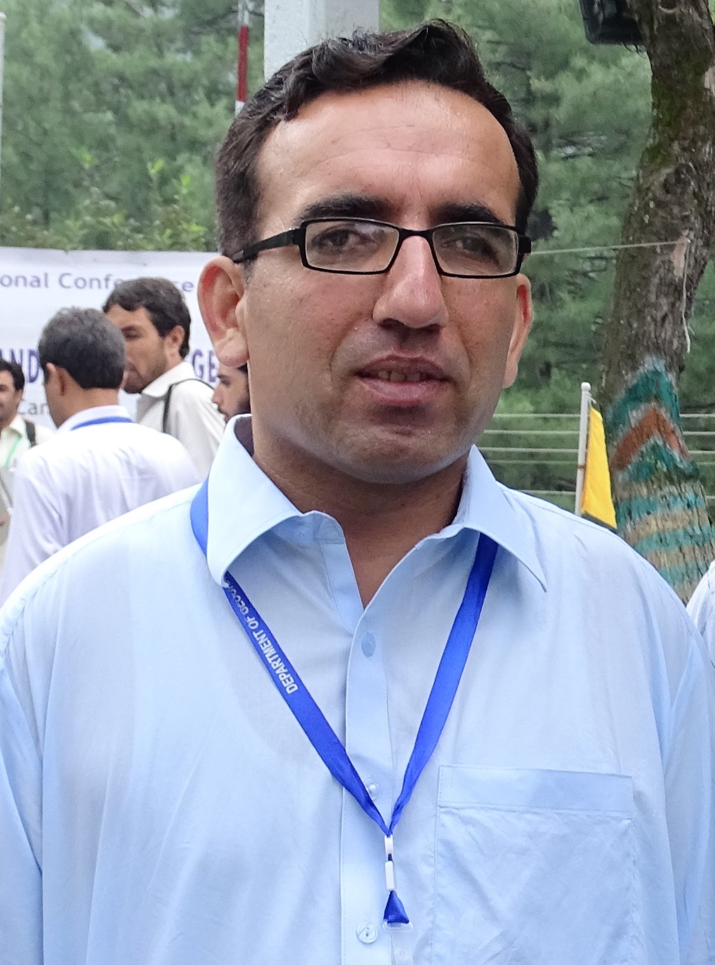
Dr. Zahid Khan
Ph.D
, Department of Geography
University of Peshawar KP
(2005)
in Applied Geography; GIS and Remote Sensing; Applied Geomorphology
Research Interest: Geographic Information System Remote sensing Settlement Geography Climatology, Applied Geomorphology
Telephone: 03005834361
Resume: [ Download ]
QUALIFICATION
1. Master: Master in Geography from Peshawar University (2004).
2. PG Diploma: One year post Graduate diploma in GIS from University of Peshawar
3. Ph.D.: University of Peshawar, under the title of
“Spatio-Temporal Analysis of Land Use Land Cover and its Impact on Extent of Soil Erosion in Chitral River Basin, Pakistan”
4. Service: Working as a Lecturer in Geomatics, Department of Geography and Geomatics University of Peshawar.
EXPERIENCE
- Lecturer: Working as a Lecturer in Department of Geography and Geomatics University of Peshawar since December 2106
- Coordinator: Coordinator, BS Geomatics at the Department of Geography and Geomatics University of Peshawar, Since February, 2022
- Staff Proctor: University of Peshawar for the session 2021-22
- Cartographer: Worked as Cartographer in Department of Geography University of Peshawar. From 2103 to 5 December 07, 2016
- Planning Officer: Worked as Planning officer in Jalozai IDPs camp Nowshera in the UNHCR funded Project from 2009 to 2011.
- Social Audit survey arrange by Community Information and Epidemiological Training. May 2004. (Joint venture of CIET, NRB and DTCE.)
7. Field Survey by PAK_CDP (Pakistan community development program) on water and sanitation in Khyber and Mohmand Agency Sponsored by UNICEF.
- Work as a transport Assistant in IRC (International Rescue Committee) In ERU (Emergency Response Unite) based in Mansehra in 2006.
MEMBER OF ORGANIZING NATIONAL AND INTERNATIONAL TRAINING /WORKSHOPS:
- Worked as Conference Coordinator of 18th All Pakistan Geographical Conference on “Climate Change, Sustainability and Resilience” at Baragali Summer Campus University of Peshawar, Organised by Department of Geography and Geomatics University of Peshawar June 7th to 9th 2024.
- Participate as a Co-opted Member in Board of Studies Meeting of Geography and Geomatics (GIS and Remote Sensing) held on 16.02.2024.
- Member: Member of the organizing Committee, of Internation Conference on “Implication of Climate Change on Water and Agricultural” at Baragali Summer Campus University of Peshawar, Organised by Department of Geography and Geomatics University of Peshawar June 17-19, 2023.
- Member: Member of the organizing Committee, of 17th All Pakistan Geographical Conference on “Impact of Climate change on Agricultural held at Baragali Summer Campus University of Peshawar, Organised by Department of Geography and Geomatics university of Peshawar 2022.
- Member: Member of the organizing Committee of Geography and GIS week 2021. Organised by Department of Geography and Geomatics university of Peshawar.
- Member: Member of the organizing Committee of Geography week Nov, 2019. Organised by Department of Geography and Geomatics university of Peshawar.
- Member: Member of the organizing Committee, National Conference on “Climate change and its Impact on Agriculture and livelihood of KP and FATA” at Pakistan Forest Institute on June 20, 2018.
- Member: Member of the organizing Committee, National Training Workshop on the “Application of Geographic Information Technology in Geography” for college Teachers, from June 24 to 26, 2008, at BaraGali Summer Campus, University of Peshawar-Pakistan
PARTICIPATED IN NATIONAL AND INTERNATIONAL TRAINING /WORKSHOPS
- Participant: Participated in three-days training workshop on “From Data to Decisions: Cloud Computing and Artificial Intelligence to Assess Impacts of Climate Change on the Water and Agricultural Sectors” organized by International Water Management Institute. (USAID) and University of Peshawar, Pakistan from 10-12 December 2024.
- Participant Participated in three-days training workshop on “Application of Google Eart Engine in Agriculture and water Resources Management from February 6-8 2023, organized by USAID and Internal Water Management institute.
- Participant: Participated in Orientation Workshop on Implementation of Community services Activities in Undergraduate programme University of Peshawar at Centre for human resources and career development university of Peshawar (October, 2018)
- Participant: Participated in one day training on Gender GBV and Prevention organized by Youth resource centre and Peshawar university (December, 2017)
- Participant: Participated in 3-Day workshop on Logic, Analytical and critical thinking organized by Centre for human resources and career development university of Peshawar (November 2017)
- Participant: Participated in Disaster Management exhibition (DEM-2015) Organized by Centre for Disaster Preparedness & Management, University of Peshawar-Pakistan
- Participant: Participated in Disaster Management exhibition (DEM-2012) Organized by Centre for Disaster Preparedness & Management, University of Peshawar-Pakistan
- Participant: 2011 Training Workshop on “Disaster Risk Management” Organized by National Institute of Disaster Management with the collaboration of Centre for Disaster Preparedness & Management, University of Peshawar-Pakistan
- Participant: Participated in Disaster Prepardance and Management Workshop Organized by university of Peshawar and GTZ-DPMP and ICIMOD (Feb, 2008)
Academic and Research Responsibilities
Designing Research Projects; Supervising Research Projects; Designing Advanced Studies Courses; Conducting Field Work; Assistant Editor of Pakistan Journal of Geography; Teaching to MSc Geography, BS Geography and BS Geomatics. Supervising Research of MSc Geography, BS Geography and BS Geomatics
M.Sc. Geography and BS Research Supervised
|
S# |
Title |
Year |
Research Level |
|
1 |
Estimating and Modeling Soil erosion within swat River Basin, Pakistan using RUSLE model |
2021 |
BS Geomatics |
|
2 |
Application of Geographical Information System in Cadastral Mapping and Creation of Web Portal: A Case Study of Mauza Tarkha, District Nowshera, Khyber Pakhtunkhwa, Pakistan. |
2021 |
BS Geomatics |
|
3 |
Impact of Temperature Fluctuation on Passu Glacier |
2020 |
BS Geomatics |
|
4 |
Forest Change detection Using GIS and Remote sensing a case study of Tehsil Dir KP Pakistan |
2018 |
BS Geomatics |
|
5 |
Forest Change detection Using GIS and Remote sensing a case study of Tehsil Dir KP Pakistan |
2018 |
M.Sc. Geography |
|
6 |
Impact of Housing societies on Agricultural land a case study of DHA Peshawar |
2018 |
M.Sc. Geography |
|
7 |
Impact of climatic variation on crops production a case study of Pabbi District Nowshera |
2015 |
M.Sc. Geography |
|
8 |
Socio economic and land use survey of Mauza Pir bala (Peshawar) |
2014 |
M.Sc. Geography |
|
9 |
Socio economic survey of Mauza Bahadar Kot (Kohat) |
2016 |
M.Sc. Geography |
|
10 |
Geographical study of village Mulkosht Distric Chitral |
2016 |
M.Sc. Geography |
|
11 |
Socio economic survey of Mauza Mian Khel (Peshawar) |
2017 |
M.Sc. Geography |
Research work Completed
- PhD thesis Title:
Spatio-Temporal analysis of land use land cover and its impact on extent of soil erosion in Chitral river basin, Pakistan
- MSc Research Topic:
Research carried out on “Land Use Change Detection Survey of Ghazi town, Haripur
3. Post Graduate Diploma Research Project title:
Selection of Suitable Site for Solid Waste Disposal in Peshawar District
List of Research Publications:
- Rehman, A. U., Ahmad, W., Khan, Z., Amjad, H., Hussain, K., & Sultan, Z. (2024). Application of GIS Based Re-Settlement of Land Record of Mouza Shahbat Khel, District Mardan (Pakistan). Journal of Asian Development Studies, 13(3), 1467-1481.
- Amjad, H., Hamza, M., Khan, Z., Rehman, A. U., Sultan, Z., & Zahid, B. (2024). Evaluating the Impact of Mini Dams on Agricultural Production and Socio-economic Conditions: A Case Study of Latamber’s Dam District Karak (Pakistan). Journal of Asian Development Studies, 13(3), 1047-1058.
- Ahmed, U., Khan, Z., Kaleem, M., Mukhtar, A., Ullah, H., Ullah, S., & Ali, Z. (2024). GIS Based Delineation Of Groundwater Potential For Agricultural Production Zones In Dera Ismail Khan, Pakistan. Remittances Review, 9(S3 (July 2024)), 1025-1046.
- Ullah, U., Akbar, M. N., Ali, Z., Iqbal, S., Khan, Z., & Tufail, M. (2024). A Comparative Study of Land Use Land Cover (LULC) Change Detection: A Case Study of Tehsil Babuzai, Swat (Pakistan). Journal of Asian Development Studies, 13(2), 1013-1022..
- Marwat. F, Rahman. A, Manglore. U, Naz. T, Khan. Z, Zahid. B, Khan. A, Dilbar. S,“ Quantifying the Impact of Chashma Right Bank Irrigation Project on the Land use Dynamics and Cropping Pattern of Arid Region, Pakistan”,IJIST, Special Issuepp125-138, June2024.
- Sultan, Z., Khan, M. A., Khan, Z., Sudais, M., Khan, N., Ullah, A., & Ali, M. (2024). Dynamic of Land Use Land Cover and its Impact on Land Surface Temperature (LST) Using GIS: A Study of District Mardan, Pakistan.
- Khan, M. A., Rahman, A. U., Khan, Z., Sultan, Z., Marwat, F., Naz, T., & Zahid, B. (2024). Evaluating and Predicting the Land Use Land Cover Changes and its Impact on Land Surface Temperature using CA-Markov model: A study of District Mardan, Pakistan.
- Akhtar, Z., Nasir, M. J., Ali, Z., Zahid, S. M. H., Iqbal, S., & Khan, Z. (2024). Sediment Yield Estimation Using Gis-Based Sediment Production Rate (Spr) Approach: A Study Of Kunhar River Basin, Pakistan. Migration Letters, 21(S11), 111-134.
- Khan Z. and Rahman A. (2023) Analysis of land use land cover and its impact on extent of soil erosion in Chitral River Basin, Hindu Kush. Pakistan. Pakistan Geographical Review, 78(1): 64-81
- Khan Z, Samiullah, Rahman A, 2016. Identification of suitable sites for solid waste disposal using GIS multi-criteria analysis in Peshawar, Pakistan. Proceedings of the Pakistan academy of sciences, 53(4): 309-321.
Skills in Geo-Informatics and Computing
|
Skill Name |
Level |
Last Used |
|
GIS software ArcGIS (for Teaching and Research) |
Excellent |
Currently Working |
|
GIS software MapInfo (for Teaching and Research) |
Excellent |
Currently Working |
|
ArcGIS Pro (for Teaching and Research) |
Excellent |
Currently Working |
|
GIS software ERDAS imagine (Teaching and Research) |
Excellent |
Currently Working |
|
MS office |
Excellent |
Currently Working |
|
MS Excel |
Excellent |
Currently Working |
|
Uses and application of GPS |
Excellent |
Currently Working |
|
Digital Field Surveying |
Excellent |
Currently Working |